
Your documents, anchored to the territory.
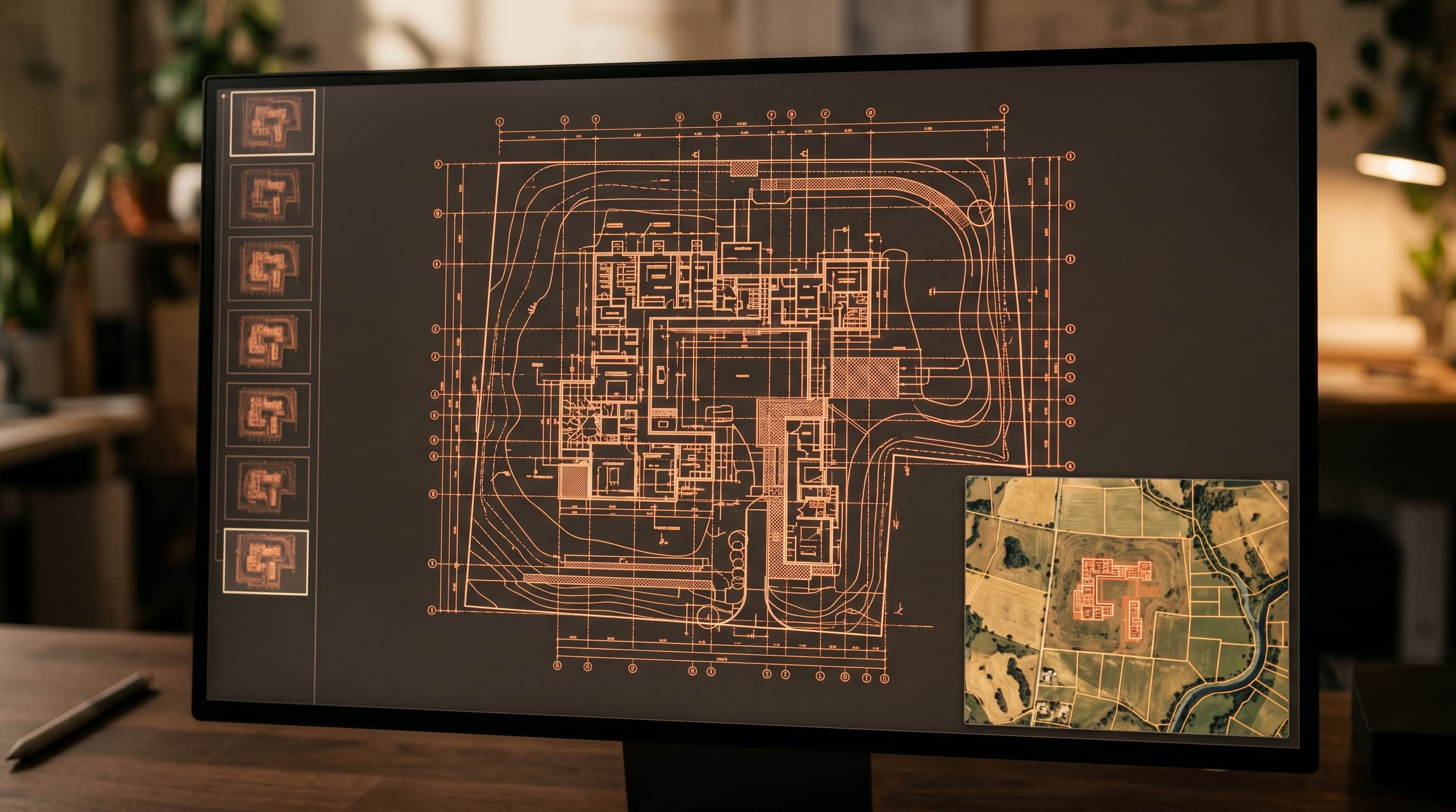
One ArchIA CAD links every document to its parcel, building, or footprint — for land, urban planning, and cadastre.
DOCUMENTS & TERRITORY
CAD
Link every document to its parcel, building, or footprint — for land, urban planning, and cadastre.
- OGC standards (WMS/WFS)
- Spatial search
- AES-256 encryption
- On-premise
Built for the most demanding environments
- Audit log
- AES-256
- OGC standards
At a glance
- OGC
- standards: WMS / WFS
- 3
- layers: parcel, building, footprint
- 100 %
- documents anchored to territory
Key capabilities
- Mapping engine with OGC standards (WMS/WFS/WCS)
- Document / parcel / building linkage
- Multilingual hybrid search
- Integrity proof registry
- 3D physical storage and QR code
- Hierarchical access control
ANCHORED TO TERRITORY
Every document, tied to the ground it describes.
Parcel
Bind documents to the cadastral parcel they concern.
Building
Attach plans and permits to a specific building.
Footprint
Map any document to its precise ground footprint.
Interoperability
Use cases
Documents anchored to territory
Every act is linked to its parcel, building, or footprint.
OGC standards
Cartographic interoperability via WMS, WFS, and WCS.
Spatial search
Query your archives by geographic zone or footprint.
Proven integrity
Titles and acts cryptographically sealed, verifiable in one click.
Full sovereignty
Land and cadastral data stored on your infrastructure.
Digital to physical
Retrieve the paper original via 3D shelving and QR code.
Integrates with your infrastructure
Connect your archives to your territory.
Book a tailored demonstration, or talk to our team about your sovereignty requirements.