
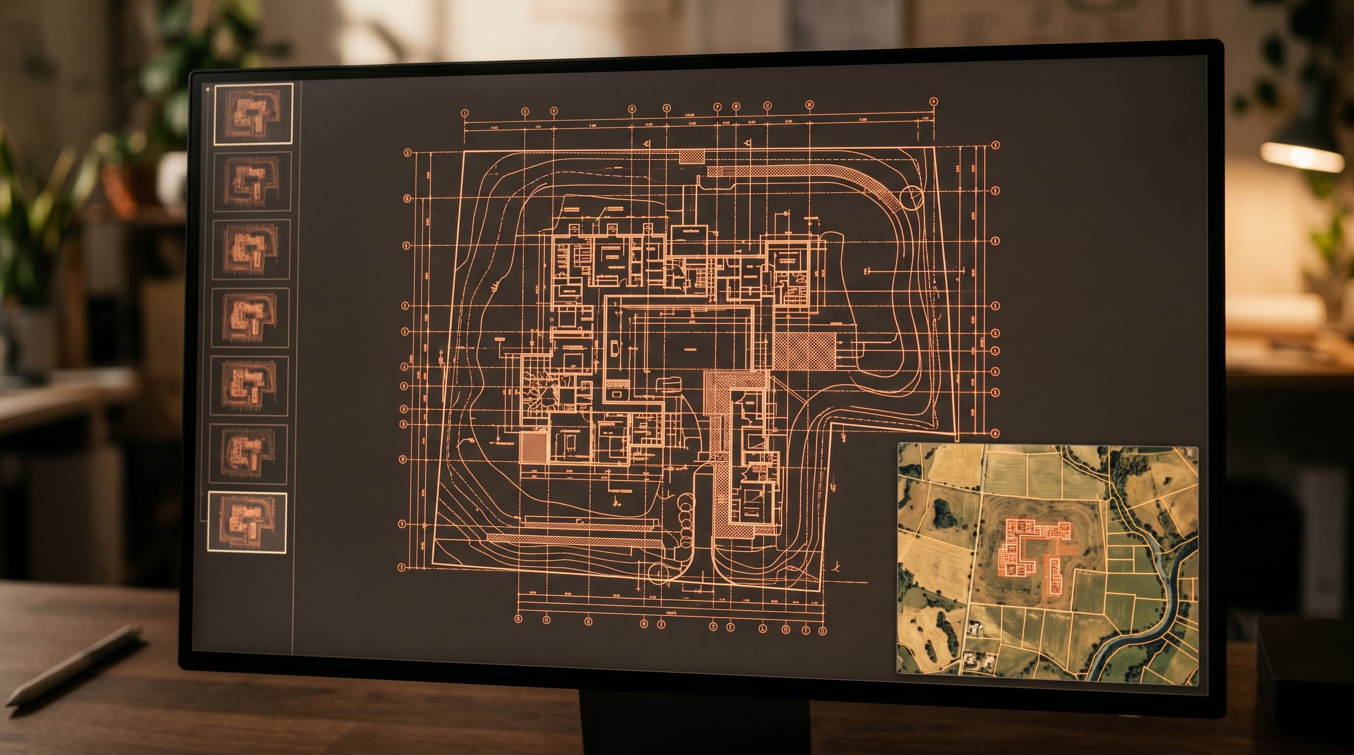
Spatial case processing
Retrieve the document history of any parcel or building on the map.
CAD
Permits are linked to the footprint of the relevant building. Case processing becomes spatial: teams retrieve the document history of each parcel or building on the map.
At a glance
Highlights
Retrieve the document history of any parcel or building on the map.
Each permit is tied to the footprint of the relevant building.
Teams work from the map, not from folders.
Book a tailored demonstration, or talk to our team about your sovereignty requirements.